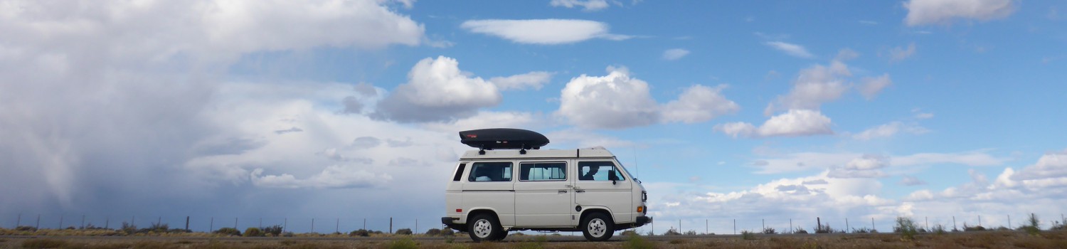
We were excited again to tackle another leg of our journey and after the necessary coffee and breakfast made in the van, followed by a quick stop at a grocery store, we hit the road.
We had mapped out a couple of route options the night before. As we worked out way south, we wanted to see something other than the Panamerican, so we opted to try a road of questionable quality that we thought might take us through some pretty countryside. As a complete bonus, it also happened to lead us through Parque Nacional Conguillío we had read about it in the guidebook and it sounded interesting, but we weren’t expecting much.
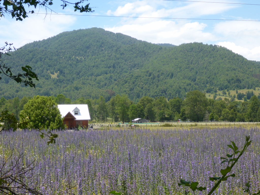
We knew we had made the right choice when we started meandering through some fairly idyllic countryside. Flowers in bloom, sheep and cattle and horses everywhere, beautiful winding roads… it felt like the right place to be.
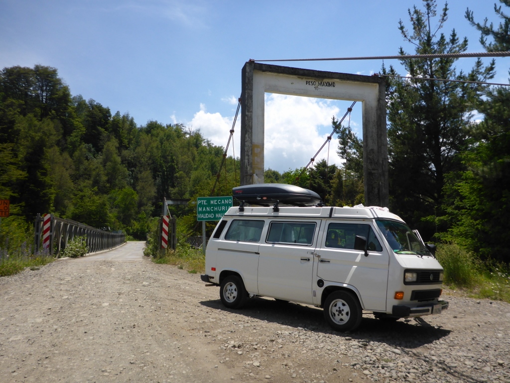
What we weren’t sure of though, was where exactly we were going. Our navigation technique is a combination of paper maps with not quite enough detail, plus offline google maps on an iPad with not quite enough detail, plus a hope and a prayer. At the point where we knew we needed to make a strategic turn south, all we found was a driveway and a private home. It seemed odd that our perfect route planning technique hadn’t anticipated this challenge. But, rather than give up and head back to highway, we gambled that a road that only existed on one of the maps we consulted would connect to the road we wanted to be on, even though all resources we consulted showed otherwise. The icing on the cake was that to give the whole shebang a shot, we had to cross over this little beauty:

Just kidding, Mom. There was a slightly better bridge next to it that we used instead. The boring way.
So we crossed and started the real trip we signed up for, which involves driving a 27-year-old vehicle on gravel roads for a really, really long time. After a few minutes we got lucky, and our road did actually connect the way we wanted to, contrary to any cartographer’s assertions. Thank goodness for GPS in Google Maps, though, because without that little blue dot showing us where we actually had were travelling, we would be clueless. The signage is essentially nonexistent, so it’s a good thing we’ve resigned ourselves to guessing.
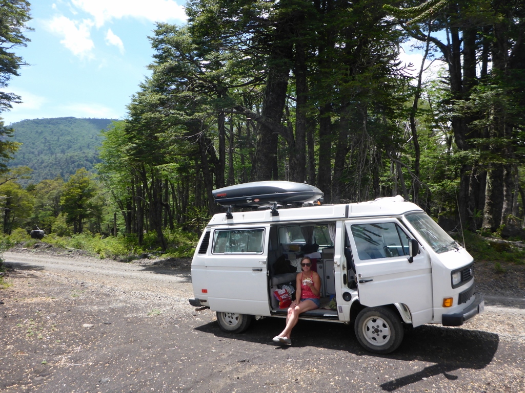
What kept us going was this little beauty in the distance:

A glimpse of the fun ahead was just enough to make it worthwhile, even though our little van didn’t love the abuse we were putting her through with that rough road.

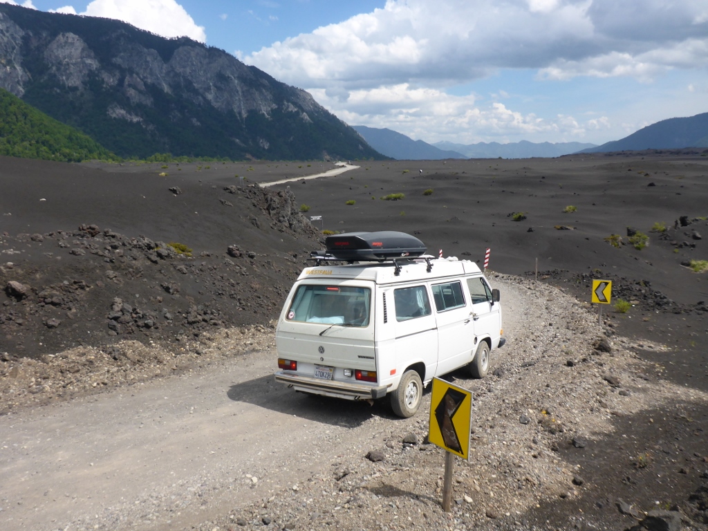
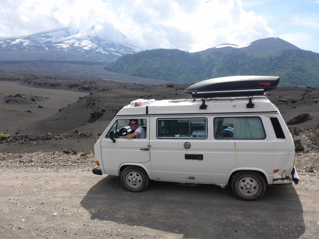
Suddenly, as we approached the park, the landscape changed dramatically. All of a sudden the grass and flowers and cows started to turn into lava rocks and interesting looking araucaria trees. We were blown away. Since our expectations were nonexistent, it was crazy to all of a sudden start driving through miles and miles of lava flow with Volcán Llaima looming in the distance. We learned that the last eruption was in 2008; according to this sign, our visit would be perfectly safe.

We stopped for lunch and to enjoy the view before making our way further into the park.

The road seemed to get more interesting the further we traveled. For a portion of the trip it seemed to have been dug out of the ground, with trees and rots protruding towards the roof of the car.

We stopped to check out a gorgeous lake and miles o f araucaria trees.


Eventually, the greenery gave way to barren lava fields. It felt like we were driving on the moon.


We loved every second of the dramatic scenery and too soon it was over. We were so happy that our random route choice had brought us through such an awesome place. The only good park about leaving the park was returning to a paved road.
The plan was to overnight on Pucon, so we continued our way there. The paved road only lasted for so long before turning back to normal – potholes with gravel in between. Eventually we made our way to the lakeside city of Pucón, with a decent view of Volcán Villarica.

Since this section of Chile seems to have a volcano every few miles, we decided the best way to take advantage of our time would be to actually climb one. So our first stop in town was to book a tour to hike up to the summit of Volcán Villarica.
Excited and nervous, we found a campsite and quickly showered before heading back out to gather supplies for the next day’s adventure. Afterwards, since the guidebook insisted that the city was home to Chile’s best vegetarian restaurant, we figured we had to try it. Our nachos, lasagna, and soup were decent but nothing to write home about. We chalked it up to carbo-loading for our big climb the next day. Since our plans for the next day involved a 5:30am wakeup call, we hurried back to pack our gear and settled in for the night.
